

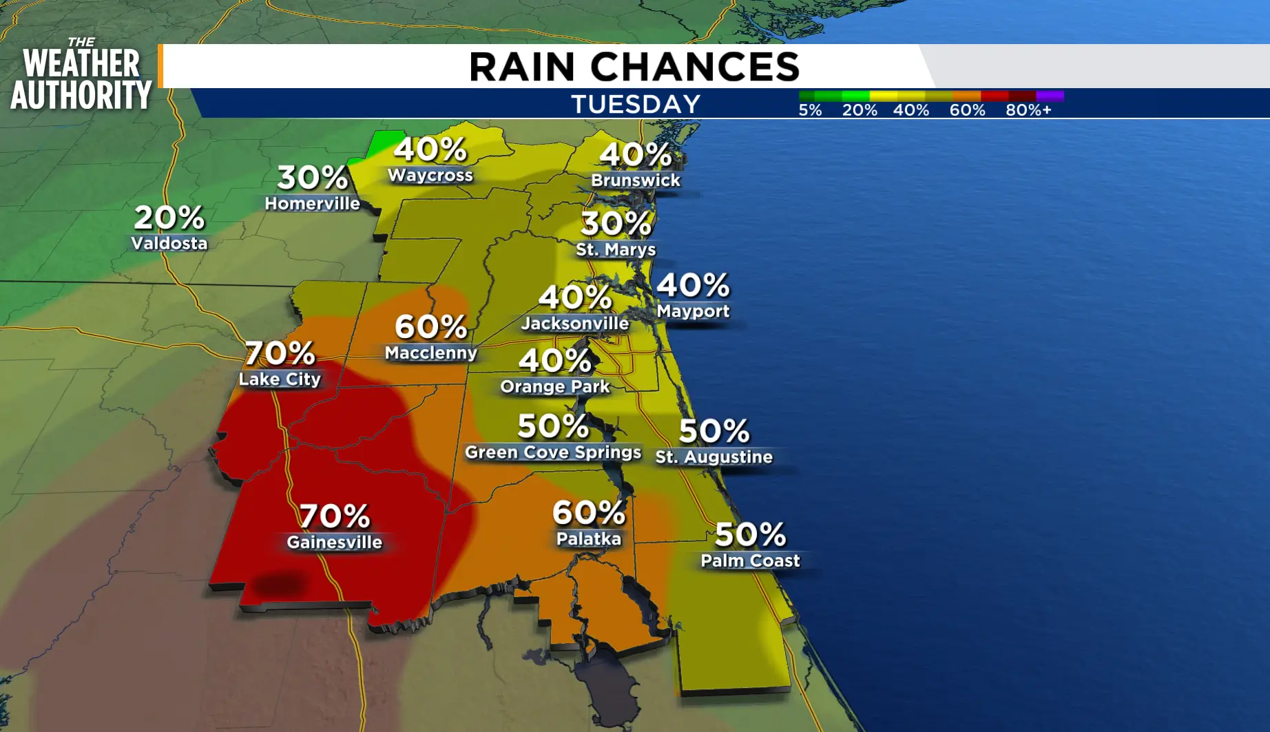
Partly cloudy to mostly cloudy skies as showers and storms end across the region. Areas of fog will be possible tonight and early Tuesday.
The summer pattern continues with daily rain chances, but the highlight of the forecast will be the near seasonal temperatures.
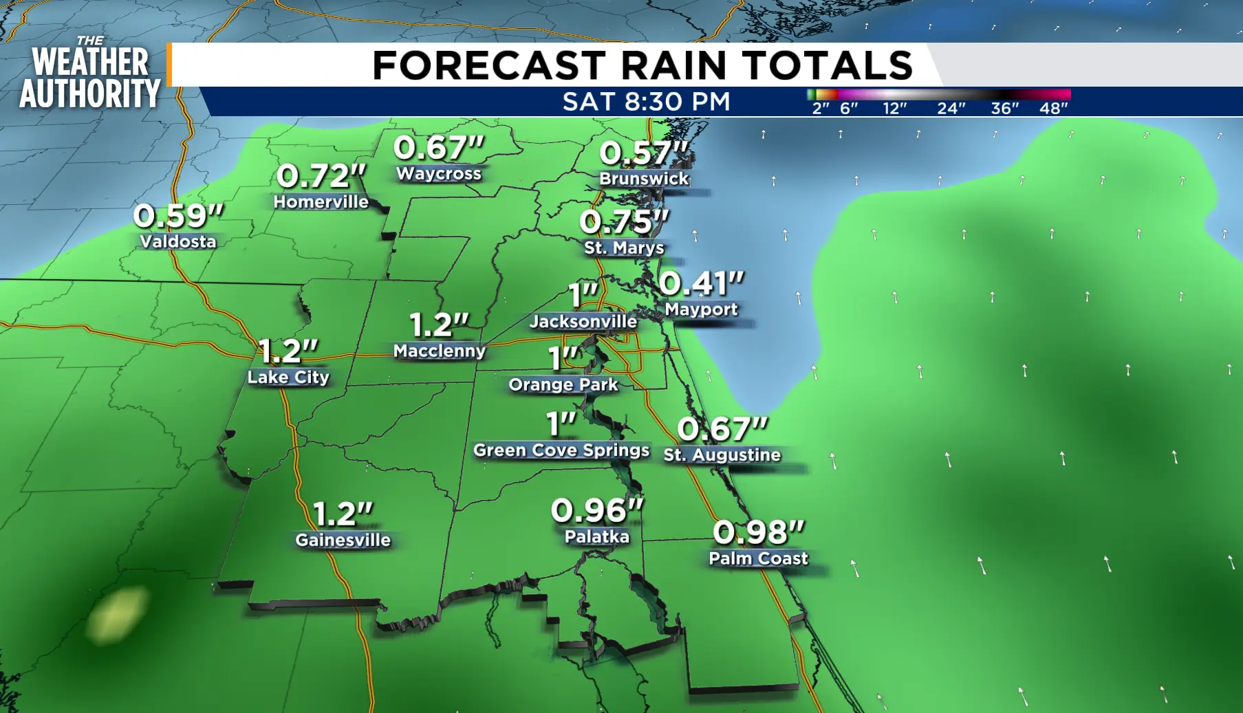
The wind will switch from the northeast to the southeast this week as afternoon showers and thunderstorms hitch a ride on the sea breeze. Rain chances will hover around 40-60 percent, with the better chances west of the River.
In the northern Gulf, we now have Tropical Storm Edouard. The path brings the tropical impact to western Louisiana and eastern Texas on Tuesday www.news4jax.com/weather/2026/08/31/potential-tropical-cyclone-five-forecast-to-become-a-tropical-storm/.
Tonight: Partly cloudy to mostly cloudy with patchy fog.
Tuesday: Partly cloudy with scattered afternoon showers and thunderstorms, 40-60 percent. Lows in the 70s. Highs in the upper 80s to low 90s inland, 80s along the beaches. Wind: NE 5-10 mph. Partly cloudy with patchy to dense fog overnight.
Wednesday - Friday: The pattern continues with daily rain chances and near seasonal temperatures.
Looking ahead: Showers with thunderstorms this weekend.
Tropics: A tropical depression will become a Tropical Storm: www.news4jax.com/weather/2026/08/31/potential-tropical-cyclone-five-forecast-to-become-a-tropical-storm/
Sunrise: 7:03 a.m.
Sunset: 7:50 p.m.
